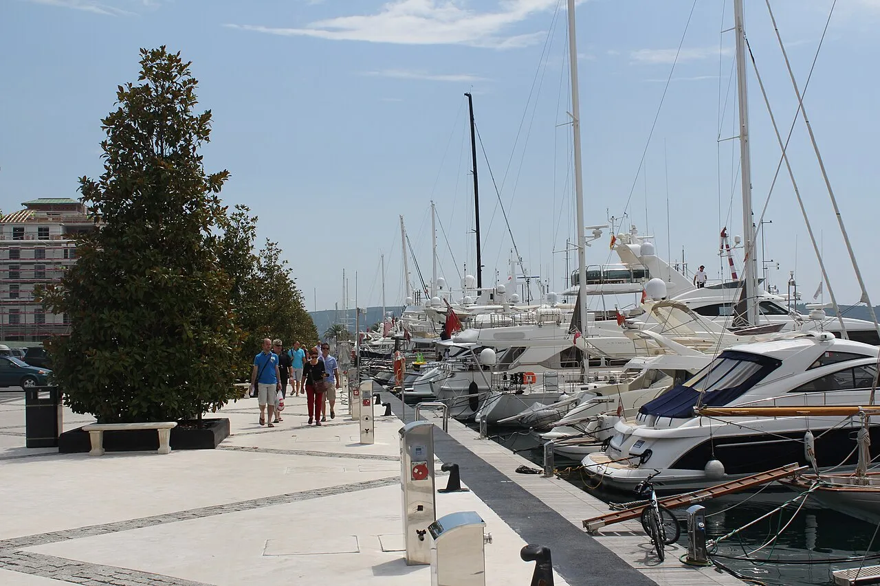

For visiting boats
Porto Montenegro is the superyacht marina at Tivat, in Tivat Bay inside the Bay of Kotor, about ten minutes by car from the airport. It has about 580 berths for yachts up to 250 m, moored stern-to with two bow lines, and dock staff are on duty 24 hours a day. Call VHF 71 before arrival; at night follow the navigation lights and keep clear of the shallows by Jetty 4, and yachts over 1000 GRT must use the yacht-assist service at the bay entrance. There are fuel stations, contractor services and the Adriatic 42 refit yard in the bay.
- Berths
- 580
- Limits
- length up to 250 m
- Radio
- VHF channel 71 · emergency VHF 16
- Position
- 42°26.03′ N 18°41.33′ E (42.43383, 18.68883)
- Fuel
- Fuel on site
- Phone
- +382 32 661 061
Services and facilities
© OpenStreetMap · OpenSeaMap — sea marks for the approach
Sailing here? Take VesselSOS with you.
- Family see you from shoreA live link in any browser – they don’t need the app.
- One tap to the right rescue centreHere MRCC Bar – the app switches centre as you move, with your position and call script even without signal.
- Return-time checkIf you’re not back in time, your people know.
- Shared hazard mapRocks, nets and other hazards reported by other boaters.
Frequently asked
Which VHF channel does the marina use?
VHF channel 71. In an emergency use channel 16.
Is there fuel at Porto Montenegro?
Yes, there is fuel at the marina.
Who do I call in an emergency at sea here?
Sea rescue: MRCC Bar +382 30 313 088. Or call 112. On the radio: MAYDAY on VHF channel 16.