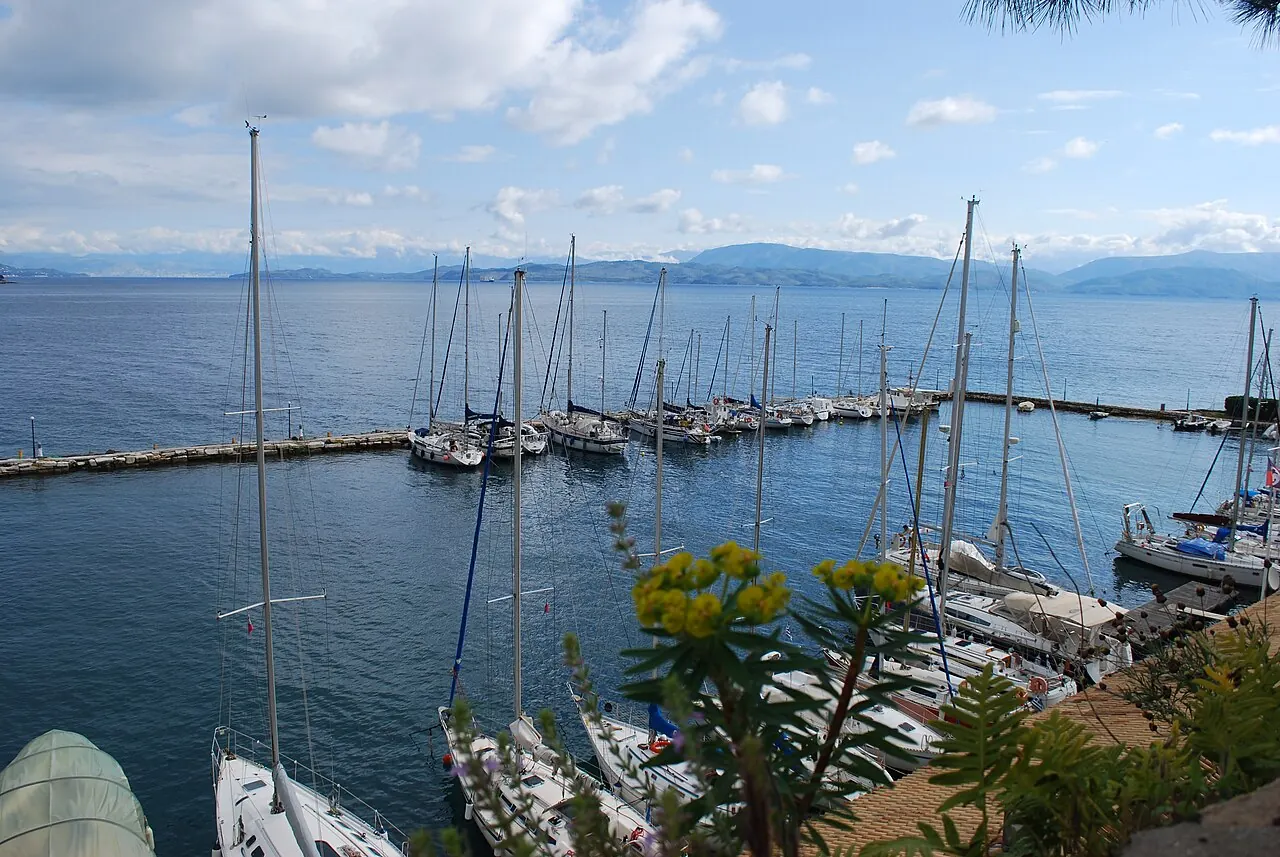

For visiting boats
Mandraki is the small Venetian harbour on the north side of Corfu's Old Fortress, run by the Corfu Sailing Club (HORC Corfu). It takes members' and visiting boats drawing up to 2.30 m, with power, water, WCs, showers, a bar-restaurant and a harbour master who helps with mooring. Visitor space is limited, so arrange your berth three days ahead; VHF 68 is manned in summer only.
- Guest berths
- Few visitor berths: contact the club at least three days ahead. VHF 68 in summer only, line-of-sight. Berths on application and club approval.
- Limits
- draught up to 2.3 m
- Radio
- VHF channel 68 · emergency VHF 16
- Position
- 39°37.48′ N 19°55.70′ E (39.62470, 19.92838)
- Home harbour of
- Ιστιοπλοϊκός Όμιλος Κερκύρας
- iokerk@otenet.gr
- Phone
- +30 26610 44383
Services and facilities
© OpenStreetMap · OpenSeaMap — sea marks for the approach
VESSELSOS APP · FREE
Sailing here? Take VesselSOS with you.
- Family see you from shoreA live link in any browser – they don’t need the app.
- One tap to the right rescue centreHere JRCC Piraeus – the app switches centre as you move, with your position and call script even without signal.
- Return-time checkIf you’re not back in time, your people know.
- Shared hazard mapRocks, nets and other hazards reported by other boaters.
Get the free appThe SOS is free and needs no account. On iPhone; Android later.
Frequently asked
Which VHF channel does the marina use?
VHF channel 68. In an emergency use channel 16.
How deep is the marina?
It takes boats with up to 2.3 m draught.
Who do I call in an emergency at sea here?
Sea rescue: JRCC Piraeus +30 210 411 2500. Or call 112. On the radio: MAYDAY on VHF channel 16.