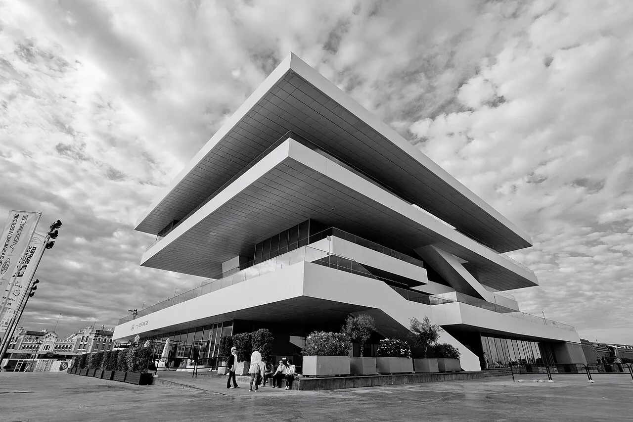

For visiting boats
Marina Port Valencia is the marina in La Marina de València, the inner basin of Valencia harbour that was the America's Cup base. It has three marinas – North, South and Marina City – with berths for boats of 6 to 80 m, dock staff all year and 24-hour security, and a renovation project will take berths to 8–130 m, with dry stack and an 80,000 m² refit area served by a travel lift of up to 750 t. It is run by Marina Port Valencia, S.L., a joint venture of IPM-IMG Group and Ocibar, and in 2026 hosted the 52 Super Series final and the SailGP Grand Prix.
- Limits
- length up to 80 m
- Position
- 39°27.60′ N 0°19.19′ W (39.46003, -0.31979)
- Fuel
- Nearest: Estaciones de Servicio Ripoll, 0.7 km.
Services and facilities
© OpenStreetMap · OpenSeaMap — sea marks for the approach
Sailing here? Take VesselSOS with you.
- Family see you from shoreA live link in any browser – they don’t need the app.
- One tap to the right rescue centreHere MRCC Valencia – the app switches centre as you move, with your position and call script even without signal.
- Return-time checkIf you’re not back in time, your people know.
- Shared hazard mapRocks, nets and other hazards reported by other boaters.
Frequently asked
Is there fuel at Marina Port Valencia?
We don't know whether there is fuel on site; the nearest fuel is Estaciones de Servicio Ripoll, 0.7 km.
Who do I call in an emergency at sea here?
Sea rescue: MRCC Valencia 112. Or call 900 202 202. On the radio: MAYDAY on VHF channel 16.