
For visiting boats
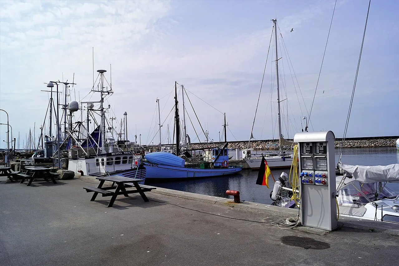
Østerby Havn on the north-east coast of Læsø is the island's fishing and industrial port with about 40 fishing boats, and the western part of the harbour is a marina with room for about 220 boats. The harbour is owned by Læsø municipality; the approach is marked by the red buoy on Engelskmandsbanke bearing 191°, which keeps you clear of the shoals to the east, and you can anchor outside the harbour. There is power and water on all pontoons, a service building with showers and toilets, coin-operated laundry and pump-out for holding tanks and chemical toilets. The harbour has diesel, a wooden-boat yard with a slipway, an engine workshop, a launching ramp and a mobile crane, with provisions about 100 m away, places to eat and a child-friendly beach.
- Guest berths
- Pay at the machine by the harbour office. Max 3 knots. Approach via the red buoy on Engelskmandsbanke bearing 191°.
- Berths
- 220
- Limits
- draught up to 3.5 m · length up to 50 m · beam up to 12 m
- Radio
- VHF channel 12 · emergency VHF 16
- Position
- 57°19.23′ N 11°7.58′ E (57.32046, 11.12629)
- Fuel
- Fuel on site: diesel
- Phone
- +45 98 49 80 27
Prices
| Visiting boat 0–12 m rate published by the harbour on havneguide.dk (FLID) | DKK 235 / night |
|---|---|
| Visiting boat 12–15 m rate published by the harbour on havneguide.dk (FLID) | DKK 330 / night |
| Visiting boat 15–20 m rate published by the harbour on havneguide.dk (FLID) | DKK 490 / night |
| Visiting boat 20–30 m rate published by the harbour on havneguide.dk (FLID) | DKK 750 / night |
| Visiting boat 30 m and over rate published by the harbour on havneguide.dk (FLID) | DKK 950 / night |
Price list → · checked 18 Oct 2026 – prices may change
Services and facilities
© OpenStreetMap · OpenSeaMap — sea marks for the approach
Sailing here? Take VesselSOS with you.
- Family see you from shoreA live link in any browser – they don’t need the app.
- One tap to the right rescue centreThe app finds the rescue centre for where you are, with your position and call script even without signal.
- Return-time checkIf you’re not back in time, your people know.
- Shared hazard mapRocks, nets and other hazards reported by other boaters.
Frequently asked
Which VHF channel does the marina use?
VHF channel 12. In an emergency use channel 16.
How deep is the marina?
It takes boats with up to 3.5 m draught. Maximum length 50 m. Maximum beam 12 m.
Is there fuel at Østerby Harbour?
Yes, there is fuel at the marina.