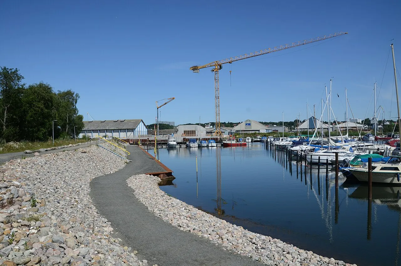

For visiting boats
Kolding Lystbådehavn lies at the head of Kolding Fjord and has two basins: the North Harbour just west of the northern breakwater and the South Harbour at the mouth of the Kolding Å, about 965 berths in all. The marina is a self-governing institution, set up in 1979 by Kolding Sejlklub, Kolding Motorbådsklub and the local wildfowlers together with the municipality, and the North Harbour grew out of the "German pier" built to launch torpedo boats during the war. There is 3.0 m in the North Harbour and 2.5 m in the South Harbour; in the South Harbour channel the river sets an easterly current across the channel at about 45°. Both basins have power, water, showers, toilets and laundry, and the South Harbour has diesel and petrol, a 20-tonne harbour crane, provisions and a restaurant. Visitors pay at the ticket machines or by MobilePay.
- Guest berths
- Ticket machines in both basins; MobilePay and cards accepted. Power DKK 3.25/kWh (min DKK 10). Max 4 knots in the harbour.
- Berths
- 965
- Limits
- draught up to 2.5 m · length up to 14 m · beam up to 5 m
- Position
- 55°29.57′ N 9°30.23′ E (55.49280, 9.50375)
- Fuel
- Fuel on site: diesel and petrol
- havnemester@klbh.dk
- Phone
- +45 75 53 27 22
- UN/LOCODE
- DK KOL
Prices
| Guest berth under 8 m April–September | DKK 140 / night |
|---|---|
| Guest berth 8–12 m April–September | DKK 160 / night |
| Guest berth over 12 m April–September | DKK 180 / night |
| Guest berth inner harbour incl. power (not free-harbour) | DKK 230 / night |
| Free-harbour scheme boats | DKK 50 / night |
| Washing machine | DKK 25 / once |
| Tumble dryer | DKK 25 / once |
Price list (PDF) → · checked 18 Oct 2026 – prices may change
Services and facilities
© OpenStreetMap · OpenSeaMap — sea marks for the approach
Sailing here? Take VesselSOS with you.
- Family see you from shoreA live link in any browser – they don’t need the app.
- One tap to the right rescue centreThe app finds the rescue centre for where you are, with your position and call script even without signal.
- Return-time checkIf you’re not back in time, your people know.
- Shared hazard mapRocks, nets and other hazards reported by other boaters.
Frequently asked
How deep is the marina?
It takes boats with up to 2.5 m draught. Maximum length 14 m. Maximum beam 5 m.
Is there fuel at Kolding Marina?
Yes, there is fuel at the marina.