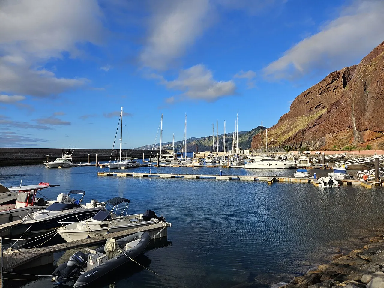

For visiting boats
Quinta do Lorde Marina lies at Caniçal on the eastern tip of Madeira, near Ponta de São Lourenço, and is often the first stop for boats arriving from the Canaries or mainland Portugal; Porto Santo is 22 miles away. It has 140 berths for boats of 6 to 25 m. The entrance is easy and free of obstructions, with adequate depth; call on VHF 09 and the marina crew will meet you in the RIB and show you to the harbour office. A travel lift for larger boats is less than a mile away, and there are good anchorages nearby.
- Berths
- 140
- Limits
- length up to 25 m
- Radio
- VHF channel 9 · emergency VHF 16
- Position
- 32°44.49′ N 16°42.72′ W (32.74142, -16.71208)
- Fuel
- Fuel on site: diesel
- Phone
- +351 291 969 607
Services and facilities
© OpenStreetMap · OpenSeaMap — sea marks for the approach
Sailing here? Take VesselSOS with you.
- Family see you from shoreA live link in any browser – they don’t need the app.
- One tap to the right rescue centreHere MRSC Funchal (Madeira) – the app switches centre as you move, with your position and call script even without signal.
- Return-time checkIf you’re not back in time, your people know.
- Shared hazard mapRocks, nets and other hazards reported by other boaters.
Frequently asked
Which VHF channel does the marina use?
VHF channel 9. In an emergency use channel 16.
Is there fuel at Quinta do Lorde Marina?
Yes, there is fuel at the marina.
Who do I call in an emergency at sea here?
Sea rescue: MRSC Funchal (Madeira) +351 291 213 112. Or call 112. On the radio: MAYDAY on VHF channel 16.