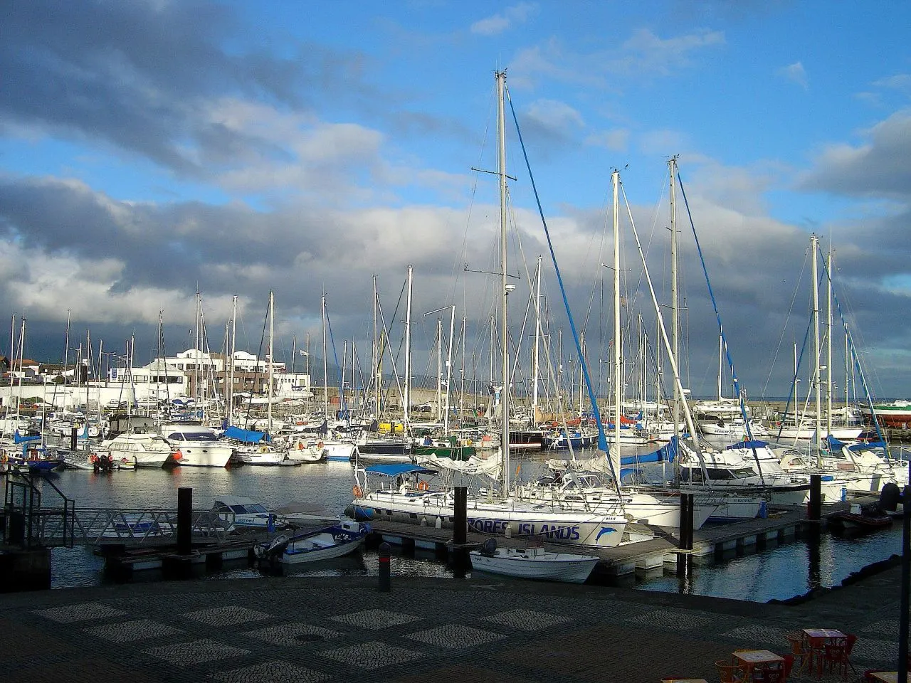

For visiting boats
Ponta Delgada Marina lies on the south coast of São Miguel, inside the commercial harbour and 500 m from the city centre. Its expansion took it from 140 to 640 berths in two parts: the east basin (the old Pêro de Teive marina) and the west basin (Portas do Mar). The 30 m reception pontoon is right at the entrance to port, marked by a row of flagpoles; only the starboard side of the entrance is lit. Past the breakwater head, alter slightly to port for the marina entrance; the main landmark is the Santa Clara lighthouse. Entrance draught 3.5 m, 25 t travel lift, VHF 16 and 62; Blue Flag and Quality Coast.
- Berths
- 640
- Radio
- VHF channel 62 · emergency VHF 16
- Position
- 37°44.32′ N 25°39.91′ W (37.73873, -25.66515)
- Office
- Summer 09:00–12:00 and 13:00–18:30 · winter 09:00–12:00 and 13:00–17:30
checked 18 Oct 2026 - Phone
- +351 296 281 510
Services and facilities
© OpenStreetMap · OpenSeaMap — sea marks for the approach
Sailing here? Take VesselSOS with you.
- Family see you from shoreA live link in any browser – they don’t need the app.
- One tap to the right rescue centreHere MRCC Delgada (Azores) – the app switches centre as you move, with your position and call script even without signal.
- Return-time checkIf you’re not back in time, your people know.
- Shared hazard mapRocks, nets and other hazards reported by other boaters.
Frequently asked
Which VHF channel does the marina use?
VHF channel 62. In an emergency use channel 16.
Who do I call in an emergency at sea here?
Sea rescue: MRCC Delgada (Azores) +351 296 281 777. Or call 112. On the radio: MAYDAY on VHF channel 16.