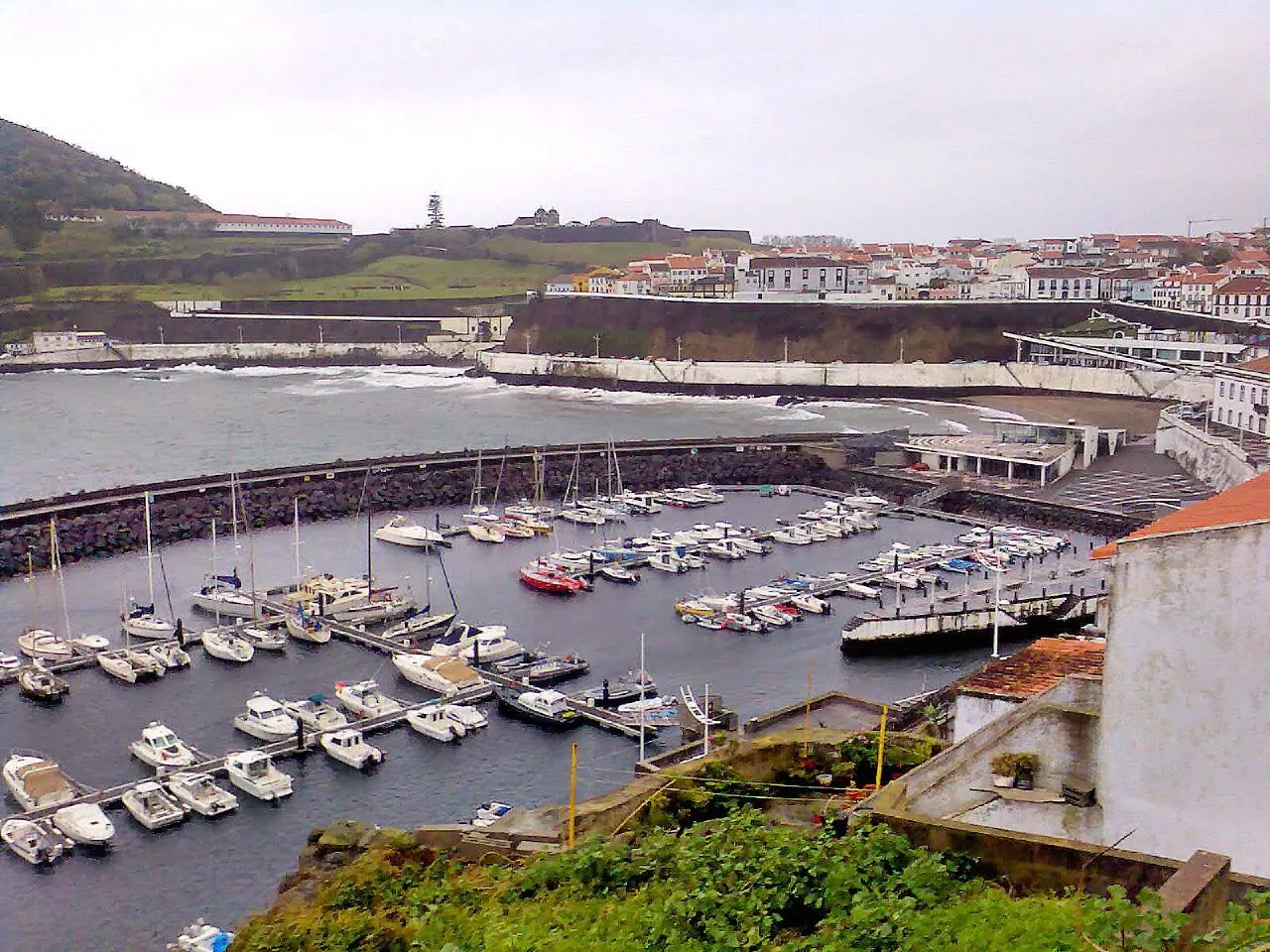

For visiting boats
Angra Marina lies on the south coast of Terceira, 50 m from the centre of Angra do Heroísmo, a UNESCO World Heritage city since 1983, in the eastern part of the bay behind a breakwater. By day Monte Brasil is the landmark; at night, approaching from the west, the Monte Brasil light only shows from bearing 057°. Approach on the 342° leading line of the Angra lights and, once the mole light is abeam to starboard, turn to starboard for the entrance. It has 260 berths, a 30 t travel lift and VHF 9 and 16; the western anchorage off Baixa da Prainha gets uncomfortable in southerly and easterly winds.
- Berths
- 260
- Radio
- VHF channel 9 · emergency VHF 16
- Position
- 38°39.19′ N 27°13.09′ W (38.65313, -27.21819)
- Office
- Summer 08:00–12:00 e 13:00–20:00 · winter 08:00–12:00 e 13:00–17:00
checked 19 Oct 2026 - Phone
- +351 295 216 304
Services and facilities
© OpenStreetMap · OpenSeaMap — sea marks for the approach
Sailing here? Take VesselSOS with you.
- Family see you from shoreA live link in any browser – they don’t need the app.
- One tap to the right rescue centreHere MRCC Delgada (Azores) – the app switches centre as you move, with your position and call script even without signal.
- Return-time checkIf you’re not back in time, your people know.
- Shared hazard mapRocks, nets and other hazards reported by other boaters.
Frequently asked
Which VHF channel does the marina use?
VHF channel 9. In an emergency use channel 16.
Who do I call in an emergency at sea here?
Sea rescue: MRCC Delgada (Azores) +351 296 281 777. Or call 112. On the radio: MAYDAY on VHF channel 16.