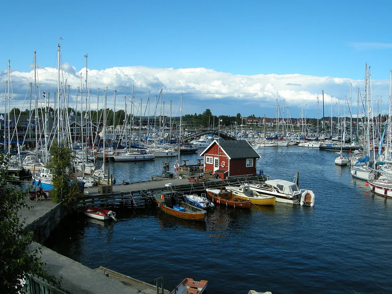

For visiting boats
Stavern gjestehavn lies in the middle of the popular holiday town of Stavern at the mouth of Larviksfjorden, a roomy harbour with good holding in clay and mooring rings all round. The guest harbour has a service building on the quay with toilets, showers and laundry, waste and holding-tank reception, and in Floskjærhavnen there is a floating pontoon with an 80 m guest pontoon with power and water and a lift for wheelchair users. Petrol and diesel are available on the quay. Both approaches are well marked in good visibility; the current in the harbour usually sets south, with eddies at the Dampskipskaia, and an onshore gale can set up a surge in the southern harbour.
- Position
- 58°59.96′ N 10°2.55′ E (58.99939, 10.04252)
- Fuel
- Fuel on site: diesel and petrol
- Phone
- +47 33 16 57 50
- UN/LOCODE
- NO STV
Services and facilities
© OpenStreetMap · OpenSeaMap — sea marks for the approach
Sailing here? Take VesselSOS with you.
- Family see you from shoreA live link in any browser – they don’t need the app.
- One tap to the right rescue centreHere JRCC Stavanger – the app switches centre as you move, with your position and call script even without signal.
- Return-time checkIf you’re not back in time, your people know.
- Shared hazard mapRocks, nets and other hazards reported by other boaters.
Frequently asked
Is there fuel at Stavern Guest Harbour?
Yes, there is fuel at the marina.
Who do I call in an emergency at sea here?
Sea rescue: JRCC Stavanger +47 51 51 70 00. Or call 112 / 120. On the radio: MAYDAY on VHF channel 16.