
For visiting boats
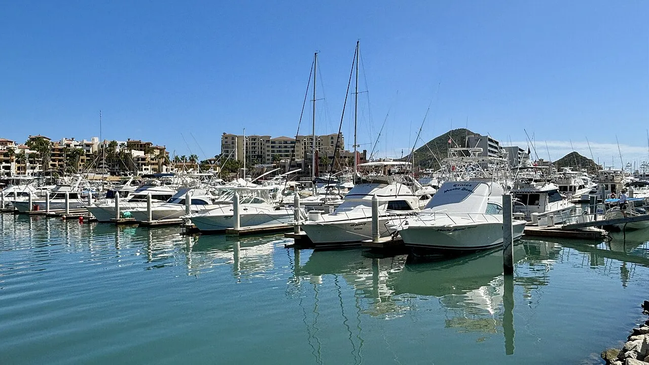
Marina del Rey is the first marina and fuel dock you meet entering Cabo San Lucas harbour (Baja California Sur), next to a swimmable beach on the Sea of Cortez. It was relaunched in 2016 with new docks, fuel station and layout: a private area with slips for boats up to 130 ft and, across the basin, a commercial area for boats up to 60 ft with a concrete passenger-loading dock near the cruise-ship pier. The PEMEX fuel dock serves vessels up to 220 ft. There are 220 V / 50 and 100 A connections, internet, toilets, showers and a weigh-and-fillet station for tenants and fuel customers.
- Guest berths
- Slip availability and fuel pre-orders by phone (+52 624 143 6522 / 147 0301) or the website form; extended fuel-dock hours in tournament season.
- Limits
- length up to 39.6 m
- Position
- 22°52.91′ N 109°54.55′ W (22.88191, -109.90912)
- Fuel
- Fuel on site
- Phone
- +52 624 143 6522
Services and facilities
© OpenStreetMap · OpenSeaMap — sea marks for the approach
Sailing here? Take VesselSOS with you.
- Family see you from shoreA live link in any browser – they don’t need the app.
- One tap to the right rescue centreHere MRCC México (SEMAR) – the app switches centre as you move, with your position and call script even without signal.
- Return-time checkIf you’re not back in time, your people know.
- Shared hazard mapRocks, nets and other hazards reported by other boaters.
Frequently asked
Is there fuel at Marina del Rey?
Yes, there is fuel at the marina.
Who do I call in an emergency at sea here?
Sea rescue: MRCC México (SEMAR) 911. On the radio: MAYDAY on VHF channel 16.