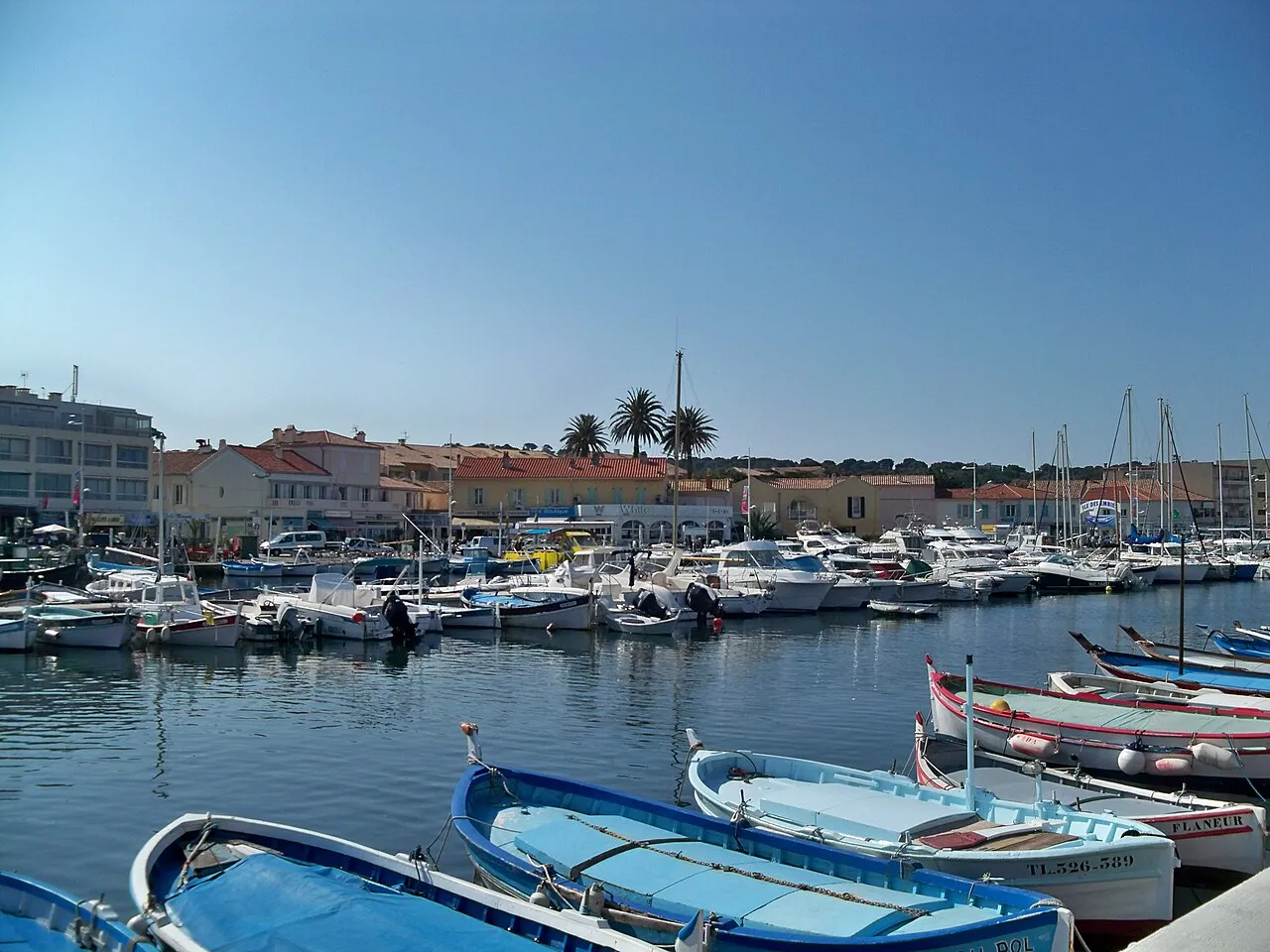

For visiting boats
Le Brusc harbour at Six-Fours-les-Plages lies in a natural roadstead sheltered from southerly winds by the Île des Embiez and from easterlies by the hills, backed by a ~100 m jetty and a 160 m breakwater. It has 867 berths for boats up to 18 m, with depths of 0.3 to 4 m depending on the area — a harbour of traditional pointus and smaller boats, next to the Natura 2000 Brusc lagoon. Run directly by the Toulon Provence Méditerranée metropolis, it answers on VHF 9.
- Berths
- 867
- Limits
- draught up to 4.0 m · length up to 18 m
- Radio
- VHF channel 9 · emergency VHF 16
- Position
- 43°4.56′ N 5°48.03′ E (43.07597, 5.80048)
- Fuel
- Fuel on site
- Phone
- +33 4 94 10 65 35
Services and facilities
© OpenStreetMap · OpenSeaMap — sea marks for the approach
Sailing here? Take VesselSOS with you.
- Family see you from shoreA live link in any browser – they don’t need the app.
- One tap to the right rescue centreHere CROSS Méditerranée – the app switches centre as you move, with your position and call script even without signal.
- Return-time checkIf you’re not back in time, your people know.
- Shared hazard mapRocks, nets and other hazards reported by other boaters.
Frequently asked
Which VHF channel does the marina use?
VHF channel 9. In an emergency use channel 16.
How deep is the marina?
It takes boats with up to 4.0 m draught. Maximum length 18 m.
Is there fuel at Le Brusc harbour?
Yes, there is fuel at the marina.
Who do I call in an emergency at sea here?
Sea rescue: CROSS Méditerranée 196. Or call 112. On the radio: MAYDAY on VHF channel 16.