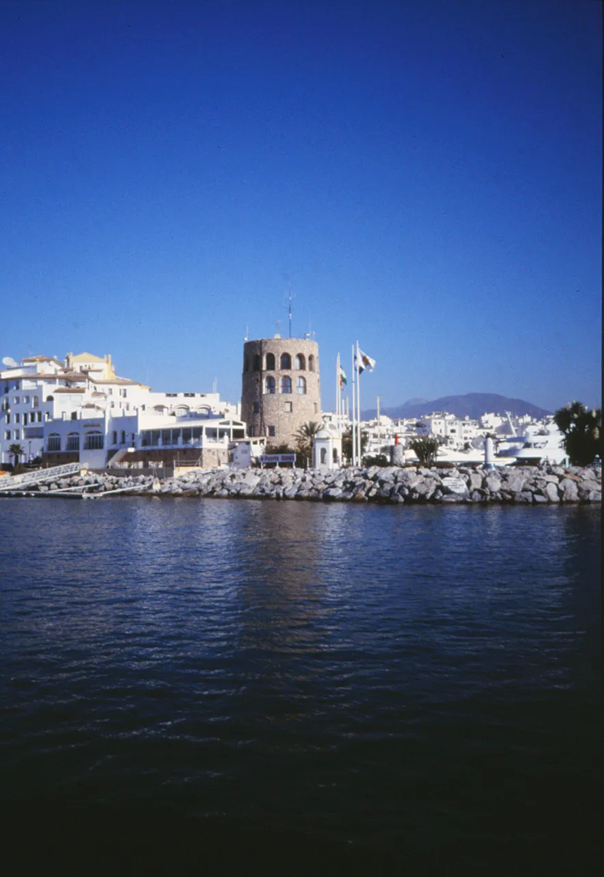

For visiting boats
Puerto Banús in Marbella opened in 1970 as an Andalusian-village-style marina and is now one of the best-known marinas in the Mediterranean. It has 915 berths in some 15 hectares of sheltered water for boats up to 50 m, with anchoring outside for larger yachts; the entrance is marked by a green light on the breakwater head (chart D-454). Fuel is supplied at the Muelle de Honor (petrol from 3,000 litres on request), shore power from 16 to 250 A, MARPOL, grey-water and bilge collection, and a technical area of about 5,500 m² with a 50 t travel lift (max beam 5.45 m), a 4.5 t mobile crane and workshops. 24-hour security and customer service all year.
- Berths
- 915
- Limits
- length up to 50 m
- Position
- 36°29.18′ N 4°57.11′ W (36.48631, -4.95180)
- Fuel
- Fuel on site
- Phone
- +34 952 909 800
Services and facilities
© OpenStreetMap · OpenSeaMap — sea marks for the approach
Sailing here? Take VesselSOS with you.
- Family see you from shoreA live link in any browser – they don’t need the app.
- One tap to the right rescue centreHere MRCC Almería – the app switches centre as you move, with your position and call script even without signal.
- Return-time checkIf you’re not back in time, your people know.
- Shared hazard mapRocks, nets and other hazards reported by other boaters.
Frequently asked
Is there fuel at Puerto Banús?
Yes, there is fuel at the marina.
Who do I call in an emergency at sea here?
Sea rescue: MRCC Almería 112. Or call 900 202 202. On the radio: MAYDAY on VHF channel 16.