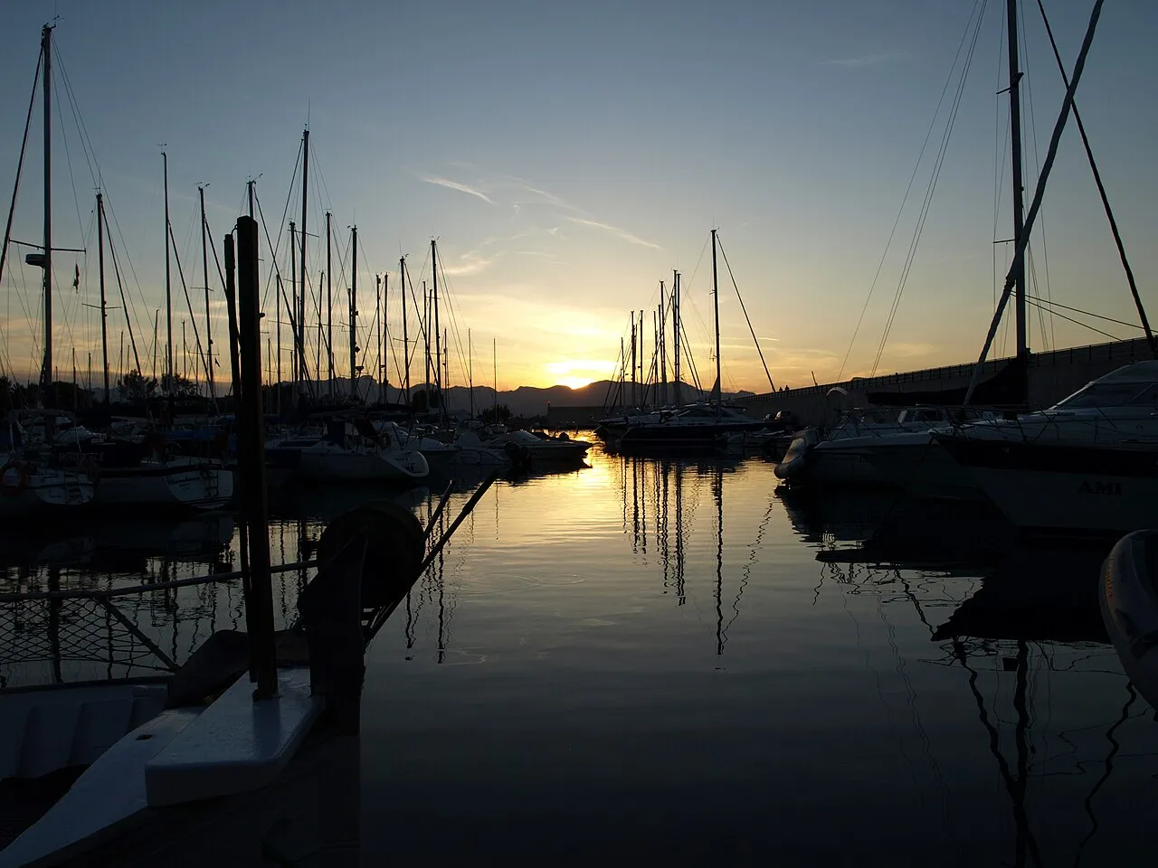

For visiting boats
- Radio
- VHF channel 9 · emergency VHF 16
- Position
- 39°51.95′ N 3°8.65′ E (39.86589, 3.14414)
- Fuel
- Nearest: Alcudiamar, 3.2 km.
- Phone
- +34 687 42 67 11
Services and facilities
© OpenStreetMap · OpenSeaMap — sea marks for the approach
VESSELSOS APP · FREE
Sailing here? Take VesselSOS with you.
- Family see you from shoreA live link in any browser – they don’t need the app.
- One tap to the right rescue centreHere MRCC Palma – the app switches centre as you move, with your position and call script even without signal.
- Return-time checkIf you’re not back in time, your people know.
- Shared hazard mapRocks, nets and other hazards reported by other boaters.
Get the free appThe SOS is free and needs no account. On iPhone; Android later.
Frequently asked
Which VHF channel does the marina use?
VHF channel 9. In an emergency use channel 16.
Is there fuel at Port Esportiu Marina de Bonaire?
We don't know whether there is fuel on site; the nearest fuel is Alcudiamar, 3.2 km.
Who do I call in an emergency at sea here?
Sea rescue: MRCC Palma 112. Or call 900 202 202. On the radio: MAYDAY on VHF channel 16.