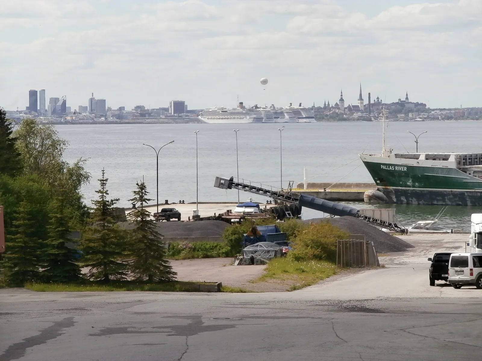

For visiting boats
Miiduranna is a cargo and fishing port with two basins on the west side of the Viimsi peninsula near Tallinn, with 878 m of quays and 2.5–13 m depth. Small craft are berthed on monthly or seasonal fees. Ask permission to enter or leave on VHF channel 10, call sign MIIDURANNA.
- Guest berths
- A commercial port on the Viimsi peninsula that also has small-craft places. On Tallinn Bay keep watch on VTS, VHF channel 13; before entering the harbour basin ask Miiduranna harbour watch on VHF channel 10 ('MIIDURANNA'). Small craft pay monthly or seasonal fees; the owner lays the mooring buoy.
- Limits
- draught up to 12.3 m · length up to 196 m · beam up to 32 m
- Radio
- VHF channel 10 · call sign MIIDURANNA · emergency VHF 16
- Position
- 59°29.96′ N 24°48.96′ E (59.49940, 24.81608)
- Fuel
- No fuel at the marina. Nearest: Pirita sadam, 3.4 km.
- Office
- weekdays 08:00–16:30
checked 18 Oct 2026 - Phone
- +372 605 4312
- UN/LOCODE
- EE MDR
Prices
| Small craft up to 6 m, per month + VAT; season €632 | €125 / month |
|---|---|
| Small craft 6.01–8.06 m, per month + VAT; season €750 | €146 / month |
| Small craft 8.07–10.04 m, per month + VAT; season €1090 | €216 / month |
| Hard standing per m², + VAT | €4 / month |
Price list (PDF) → · checked 18 Oct 2026 – prices may change
Services and facilities
© OpenStreetMap · OpenSeaMap — sea marks for the approach
VESSELSOS APP · FREE
Sailing here? Take VesselSOS with you.
- Family see you from shoreA live link in any browser – they don’t need the app.
- One tap to the right rescue centreThe app finds the rescue centre for where you are, with your position and call script even without signal.
- Return-time checkIf you’re not back in time, your people know.
- Shared hazard mapRocks, nets and other hazards reported by other boaters.
Get the free appThe SOS is free and needs no account. On iPhone; Android later.
Frequently asked
Which VHF channel does the marina use?
VHF channel 10. Call sign MIIDURANNA. In an emergency use channel 16.
How deep is the marina?
It takes boats with up to 12.3 m draught. Maximum length 196 m. Maximum beam 32 m.
Is there fuel at Port of Miiduranna?
There is no fuel at the marina. The nearest fuel: Pirita sadam, 3.4 km.