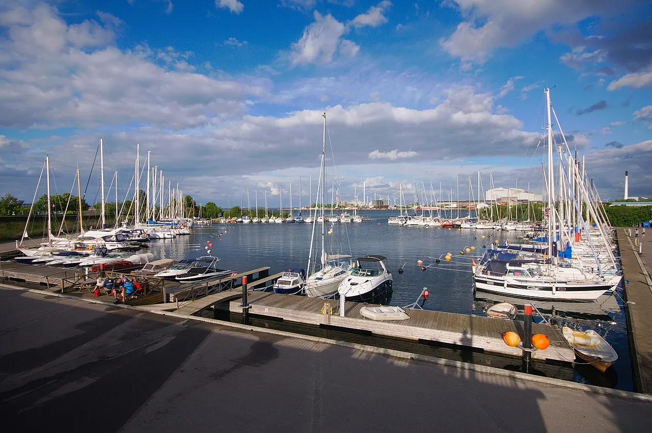

For visiting boats
- Position
- 55°41.65′ N 12°35.96′ E (55.69415, 12.59932)
- Fuel
- Nearest: Margretheholms Havn, 1.3 km.
- Phone
- +45 2744 7545
Services and facilities
© OpenStreetMap · OpenSeaMap — sea marks for the approach
VESSELSOS APP · FREE
Sailing here? Take VesselSOS with you.
- Family see you from shoreA live link in any browser – they don’t need the app.
- One tap to the right rescue centreHere JRCC Denmark – the app switches centre as you move, with your position and call script even without signal.
- Return-time checkIf you’re not back in time, your people know.
- Shared hazard mapRocks, nets and other hazards reported by other boaters.
Get the free appThe SOS is free and needs no account. On iPhone; Android later.
Frequently asked
Is there fuel at Langelinie Lystbådehavn?
We don't know whether there is fuel on site; the nearest fuel is Margretheholms Havn, 1.3 km.
Who do I call in an emergency at sea here?
Sea rescue: JRCC Denmark +45 72 85 03 80. Or call 112. On the radio: MAYDAY on VHF channel 16.