
For visiting boats
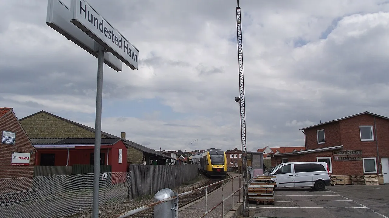
Hundested Havn lies at the mouth of Isefjorden and Roskilde Fjord facing the Kattegat and is both a lively cultural harbour and a working port with fishing, the ferry to Rørvig, boatyards and open workshops. The old harbour has five basins, with the middle and inner harbours as marina basins for boats up to 15 m and the south harbour shared by fishing boats and yachts. There is a bistro, a brewery and fish restaurants on the quay, a mast crane, a 4-tonne mobile crane, a slipway and a cutter slip, and the harbour has a 24-hour watch. The area SW and W of the western outer mole tends to silt up.
- Guest berths
- Guest berths can be pre-booked on MarinaBooking; pay at the machine or by card. Speed limit 3 knots. VHF 16 and 12–13.
- Radio
- VHF channel 12 · emergency VHF 16
- Position
- 55°57.90′ N 11°50.70′ E (55.96500, 11.84500)
- Fuel
- Fuel on site: diesel
- Office
- Harbour office 08–12 and 14–15 · 24-hour duty phone +45 21 23 72 34
checked 18 Oct 2026 - Phone
- +45 47 93 72 34
- UN/LOCODE
- DK HUN
Prices
| Visiting boat 0–8.99 m rate published by the harbour on havneguide.dk (FLID) | DKK 205 / night |
|---|---|
| Visiting boat 9–11.99 m rate published by the harbour on havneguide.dk (FLID) | DKK 235 / night |
| Visiting boat 12–14.99 m rate published by the harbour on havneguide.dk (FLID) | DKK 265 / night |
| Visiting boat 15 m and over rate published by the harbour on havneguide.dk (FLID) | DKK 345 / night |
Price list → · checked 18 Oct 2026 – prices may change
Services and facilities
© OpenStreetMap · OpenSeaMap — sea marks for the approach
Sailing here? Take VesselSOS with you.
- Family see you from shoreA live link in any browser – they don’t need the app.
- One tap to the right rescue centreThe app finds the rescue centre for where you are, with your position and call script even without signal.
- Return-time checkIf you’re not back in time, your people know.
- Shared hazard mapRocks, nets and other hazards reported by other boaters.
Frequently asked
Which VHF channel does the marina use?
VHF channel 12. In an emergency use channel 16.
Is there fuel at Hundested Harbour?
Yes, there is fuel at the marina.