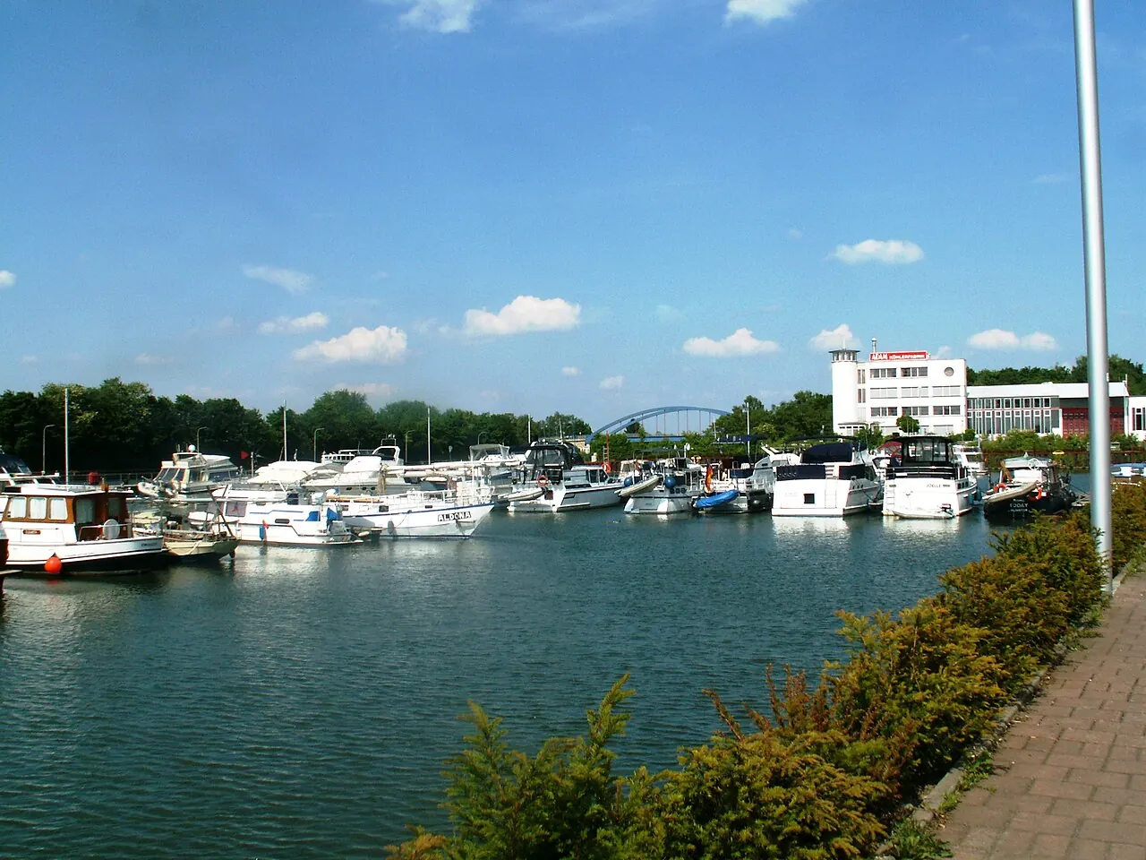

For visiting boats
- Limits
- draught up to 1.8 m · length up to 18 m
- Position
- 51°38.51′ N 7°38.45′ E (51.64184, 7.64077)
- Fuel
- Fuel on site
- Phone
- +49 2389 3163
Services and facilities
© OpenStreetMap · OpenSeaMap — sea marks for the approach
VESSELSOS APP · FREE
Sailing here? Take VesselSOS with you.
- Family see you from shoreA live link in any browser – they don’t need the app.
- One tap to the right rescue centreThe app finds the rescue centre for where you are, with your position and call script even without signal.
- Return-time checkIf you’re not back in time, your people know.
- Shared hazard mapRocks, nets and other hazards reported by other boaters.
Get the free appThe SOS is free and needs no account. On iPhone; Android later.
Frequently asked
How deep is the marina?
It takes boats with up to 1.8 m draught. Maximum length 18 m.
Is there fuel at Marina Rünthe?
Yes, there is fuel at the marina.