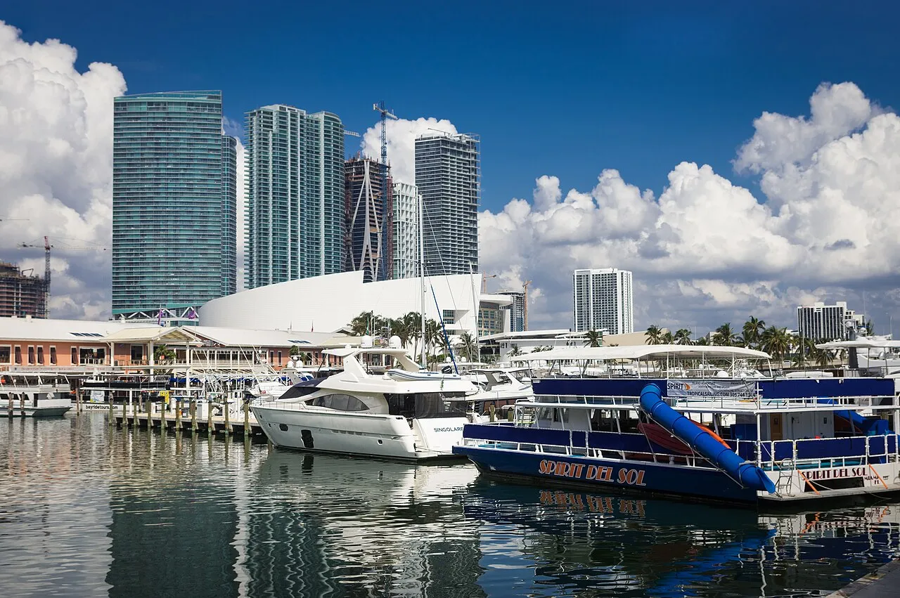

For visiting boats
Miamarina at Bayside is the City of Miami's downtown marina, set inside Bayside Marketplace on Biscayne Bay at the west end of Government Cut, at ICW statute mile 1090 just south of the Port of Miami causeway. It has 125 wet slips on concrete piers for yachts from 55 ft to 230 ft, with 30/50/100 A power, fresh water and pump-out at the piers, laundry, restrooms and staff on duty around the clock. Transient boats pay the city's published per-foot rates; call the office or hail on VHF 16 or 18.
- Guest berths
- Transient (short-term) dockage by phone: +1 305 960 5180. Minimum charge for a 55 ft boat. Concrete docks and finger piers, 30/50/100 A power, US Customs clearing on site, 24-hour staff and security. No liveaboards.
- Berths
- 125
- Limits
- length up to 70.1 m
- Radio
- VHF channel 16 · emergency VHF 16
- Position
- 25°46.68′ N 80°11.23′ W (25.77806, -80.18710)
- Office
- daily 07:00–17:30
checked 18 Oct 2026 - Phone
- +1 305 960 5180
Prices
| Transient dockage, per foot LOA USD 7.00 per ft per day, before taxes; Miamarina minimum length 50 ft on the rate sheet (55 ft minimum charge stated on the marina page); only during marina operating hours | $7 / day |
|---|---|
| Transient dockage, monthly, per foot LOA USD 52.00 per ft per month, before taxes | $52 / month |
| Short-term tie-up (3 hours max), per foot LOA USD 2 per ft, 3 hours maximum, before taxes | $2 / visit |
| Commercial pick-up/drop-off, up to 50 ft flat rate; 51–70 ft USD 2.00/ft; 71 ft+ USD 7.00/ft | $80 / once |
| Pump-out, non-customer before taxes | $7 / once |
| Automobile parking as listed on the city rate sheet (unit not stated) | $26.50 / once |
Price list → · checked 18 Oct 2026 – prices may change
Services and facilities
© OpenStreetMap · OpenSeaMap — sea marks for the approach
VESSELSOS APP · FREE
Sailing here? Take VesselSOS with you.
- Family see you from shoreA live link in any browser – they don’t need the app.
- One tap to the right rescue centreHere Coast Guard Sector Miami – the app switches centre as you move, with your position and call script even without signal.
- Return-time checkIf you’re not back in time, your people know.
- Shared hazard mapRocks, nets and other hazards reported by other boaters.
Get the free appThe SOS is free and needs no account. On iPhone; Android later.
Frequently asked
Which VHF channel does the marina use?
VHF channel 16. In an emergency use channel 16.
Who do I call in an emergency at sea here?
Sea rescue: Coast Guard Sector Miami 911. On the radio: MAYDAY on VHF channel 16.