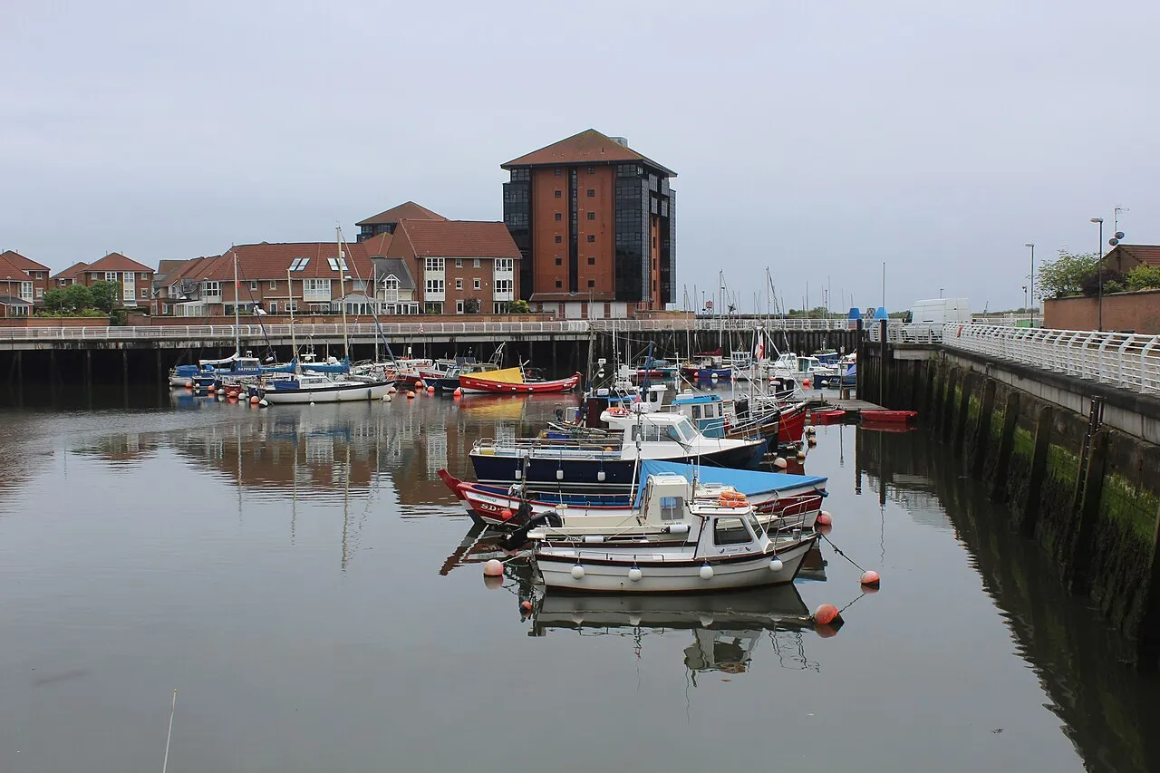

For visiting boats
Sunderland Marina lies at Roker at the mouth of the River Wear, with access to the North Sea at all states of tide, a short walk from Roker and Seaburn beaches and about a mile from the city centre. It opened in 1996 and is run alongside an independent charitable trust, Adventure Sunderland, which also provides outdoor education. There are 132 pontoon berths and 95 fore-and-aft moorings for boats up to 12.2 m, a fuel pump, water and electricity, a slipway and a tidal maintenance shelf. The site is staffed around the clock, and there are restaurants in the Marine Activities Centre.
- Guest berths
- Sunderland Marina is at Roker, at the mouth of the River Wear, and has access to the sea at all states of tide. Visitor space is limited and the marina is often full, so phone a day or two ahead. Call on approach by phone or on VHF 37 (M) with the call sign 'Sunderland Marina'. The marina cannot answer on channel 80. The largest boat it can take is 12.2 m (40 ft) LOA. The fuel berth and slipway are at the marina entrance.
- Berths
- 227
- Limits
- length up to 12.2 m
- Radio
- VHF channel 37 · call sign SUNDERLAND MARINA · emergency VHF 16
- Position
- 54°55.11′ N 1°22.03′ W (54.91853, -1.36714)
- Fuel
- Fuel on site
- info@sunmac.org.uk
- Phone
- +44 191 514 4721
Prices
| Visitor berth, 6 m | £21 / day |
|---|---|
| Visitor berth, 12 m £23 for 7 m, £26 for 8 m, £28 for 9 m, £31 for 10 m, £34 for 11 m | £36 / day |
| Visitor berth, 6 m, weekly up to £216 for 12 m | £126 / week |
| Visitor berth, 6 m, monthly up to £648 for 12 m | £378 / month |
Price list → · checked 19 Oct 2026 – prices may change
Services and facilities
© OpenStreetMap · OpenSeaMap — sea marks for the approach
Sailing here? Take VesselSOS with you.
- Family see you from shoreA live link in any browser – they don’t need the app.
- One tap to the right rescue centreHere Humber Coastguard – the app switches centre as you move, with your position and call script even without signal.
- Return-time checkIf you’re not back in time, your people know.
- Shared hazard mapRocks, nets and other hazards reported by other boaters.
Frequently asked
Which VHF channel does the marina use?
VHF channel 37. Call sign SUNDERLAND MARINA. In an emergency use channel 16.
Is there fuel at Sunderland Marina?
Yes, there is fuel at the marina.
Who do I call in an emergency at sea here?
Sea rescue: Humber Coastguard 999. Or call 112. On the radio: MAYDAY on VHF channel 16.