
For visiting boats
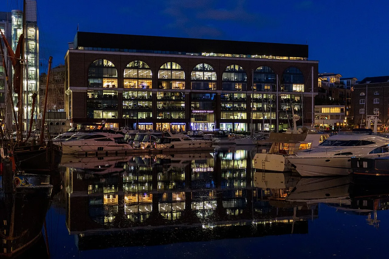
St Katharine Docks Marina occupies three interlinked historic basins designed by Thomas Telford beside the Tower of London and Tower Bridge – the only marina in central London, about 40 miles up the Thames. Renovated in 2017, it has 185 berths for boats up to 40 m for visitors and long-term berth holders, reached through a lock that works around high water, with showers, waste facilities, concierge and provisioning services and the restaurants and shops of the docks all round.
- Guest berths
- About 40 nm up the Thames, next to Tower Bridge. Entry by lock, which works from HW −2 h to HW +1.5 h within set hours (summer roughly 08:00–20:00; check the monthly lock times). Call "St Katharine's" on VHF 80 during locking times; book a visitor berth online in advance.
- Berths
- 185
- Limits
- length up to 40 m
- Radio
- VHF channel 80 · call sign ST KATHARINE'S · emergency VHF 16
- Position
- 51°30.44′ N 0°4.27′ W (51.50728, -0.07121)
- Phone
- +44 20 7264 5312
Services and facilities
© OpenStreetMap · OpenSeaMap — sea marks for the approach
VESSELSOS APP · FREE
Sailing here? Take VesselSOS with you.
- Family see you from shoreA live link in any browser – they don’t need the app.
- One tap to the right rescue centreThe app finds the rescue centre for where you are, with your position and call script even without signal.
- Return-time checkIf you’re not back in time, your people know.
- Shared hazard mapRocks, nets and other hazards reported by other boaters.
Get the free appThe SOS is free and needs no account. On iPhone; Android later.
Frequently asked
Which VHF channel does the marina use?
VHF channel 80. Call sign ST KATHARINE'S. In an emergency use channel 16.