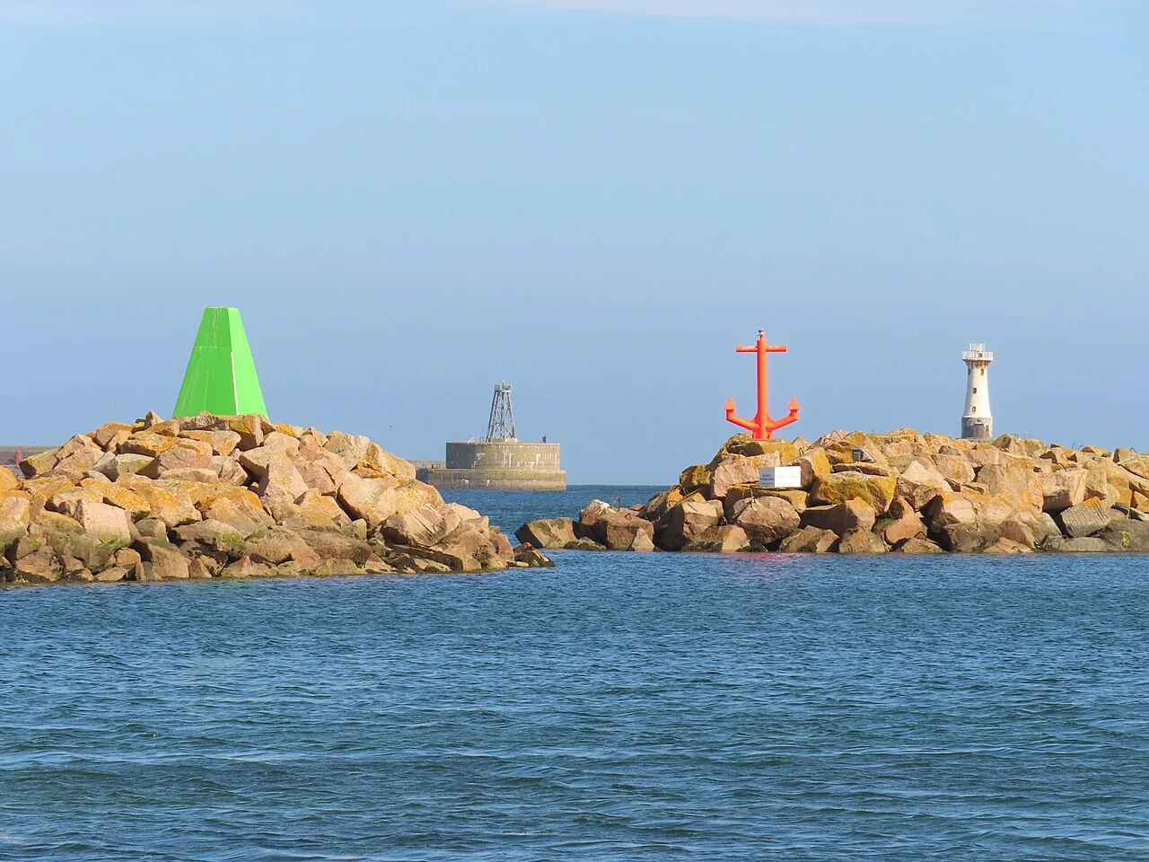

For visiting boats
Peterhead Bay Marina is the leisure harbour of Peterhead Port Authority, on the north-east tip of mainland Scotland. Its easterly position makes it a natural safe stop for yachts crossing to or from Scandinavia and for boats working along the east coast towards the Caledonian Canal and the west coast. It takes boats up to 22 m, with 2.3 m below chart datum at the entrance and berths deep enough for 2.8 m draught. On site there are fresh water, electricity, showers, a laundry, free Wi-Fi, diesel and gas, and a small chandlery stock.
- Guest berths
- Peterhead Bay Marina is in the south-west corner of Peterhead Bay, inside the harbour breakwaters. Visitors must call the port control tower on VHF 14 when one mile out to get permission to enter the harbour. There is 2.3 m below chart datum at the entrance, and boats drawing up to 2.8 m can stay afloat at the deepest berths. The marina takes boats up to 22 m.
- Limits
- draught up to 2.8 m · length up to 22 m
- Radio
- VHF channel 14 · emergency VHF 16
- Position
- 57°29.74′ N 1°47.45′ W (57.49563, -1.79082)
- Fuel
- Fuel on site: diesel
- Phone
- +44 1779 483600
Prices
| Visitor berth, up to 6 m year from 1 April 2026 | £22 / night |
|---|---|
| Each additional metre over 6 m added to the £22 base rate | £1 / night |
| Visitor berth, up to 6 m, weekly 7 nights for the price of 5 (5 × £22); plus 5 × £1 per extra metre | £110 / week |
Price list → · checked 19 Oct 2026 – prices may change
Services and facilities
© OpenStreetMap · OpenSeaMap — sea marks for the approach
Sailing here? Take VesselSOS with you.
- Family see you from shoreA live link in any browser – they don’t need the app.
- One tap to the right rescue centreHere Aberdeen Coastguard – the app switches centre as you move, with your position and call script even without signal.
- Return-time checkIf you’re not back in time, your people know.
- Shared hazard mapRocks, nets and other hazards reported by other boaters.
Frequently asked
Which VHF channel does the marina use?
VHF channel 14. In an emergency use channel 16.
How deep is the marina?
It takes boats with up to 2.8 m draught. Maximum length 22 m.
Is there fuel at Peterhead Bay Marina?
Yes, there is fuel at the marina.
Who do I call in an emergency at sea here?
Sea rescue: Aberdeen Coastguard 999. Or call 112. On the radio: MAYDAY on VHF channel 16.