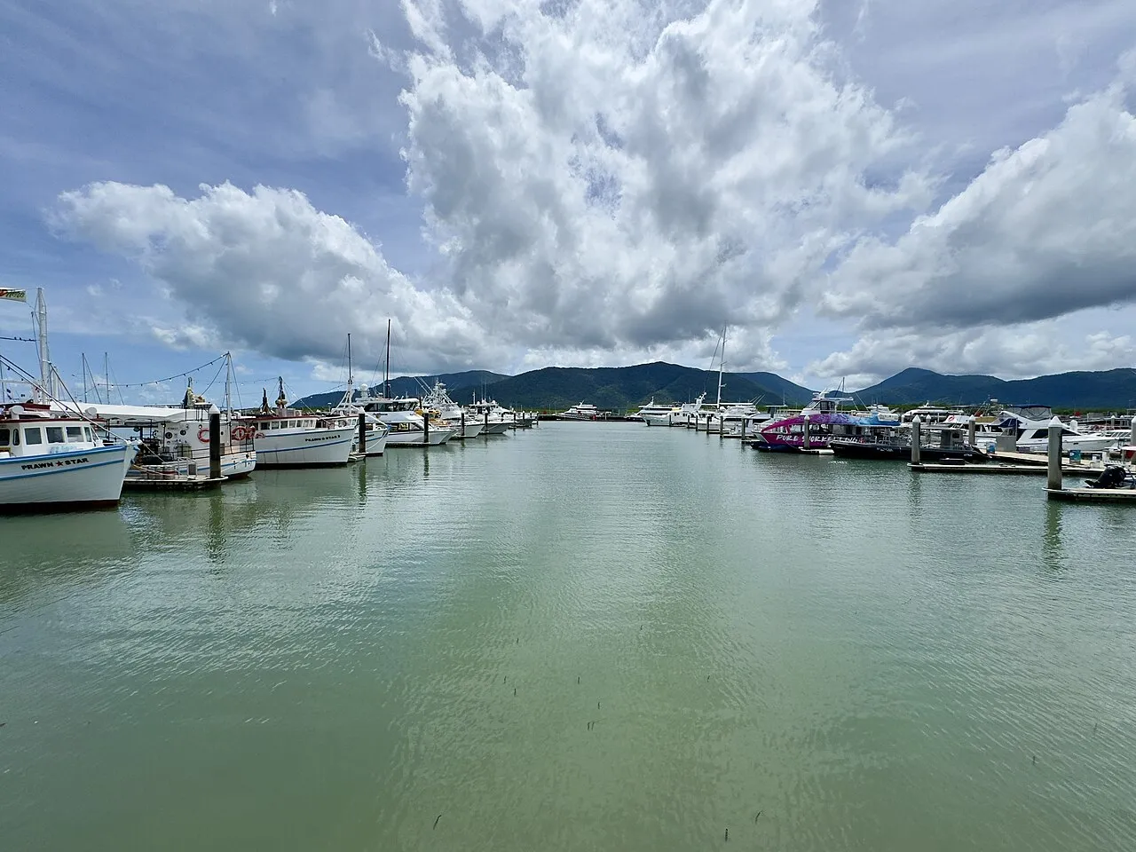

For visiting boats
Cairns Marlin Marina is the floating marina in the heart of Cairns city on Trinity Inlet, run by the port authority Ports North and the gateway to cruising on the northern Great Barrier Reef. It has 261 berths for cruising yachts, the reef tourism and game-fishing fleets, and superyachts up to 140 m. Book through the Cairns Seaport Operations Office or online before arriving. The Esplanade lagoon, shops and restaurants are a short walk away, the airport is about ten minutes by road and the city's marine and superyacht refit precinct about five.
- Guest berths
- book through the Cairns Seaport Operations Office or the online marina booking form (separate superyacht booking form); permits needed for contractor work, liquid transfers and waste removal
- Berths
- 261
- Limits
- length up to 140 m
- Position
- 16°55.15′ S 145°46.91′ E (-16.91923, 145.78191)
- Phone
- +61 7 4052 3866
Services and facilities
© OpenStreetMap · OpenSeaMap — sea marks for the approach
VESSELSOS APP · FREE
Sailing here? Take VesselSOS with you.
- Family see you from shoreA live link in any browser – they don’t need the app.
- One tap to the right rescue centreHere Triple Zero (000) · Australia – the app switches centre as you move, with your position and call script even without signal.
- Return-time checkIf you’re not back in time, your people know.
- Shared hazard mapRocks, nets and other hazards reported by other boaters.
Get the free appThe SOS is free and needs no account. On iPhone; Android later.
Frequently asked
Who do I call in an emergency at sea here?
Sea rescue: Triple Zero (000) · Australia 000. On the radio: MAYDAY on VHF channel 16.